Skip to main content
en
it
Main navigation
Company
About us
Profile
The Group
History
Team
Corporate Governance
Organizational model
Design thinking
Stakeholders & Partnership
Quality, ethics & environment
Contact us
Offices
Administrative contacts
Customer Care Contacts
Job opportunities
Solutions
Applications
Energy and utilities
Infrastructure Engineering
Territorial Planning
Land & Environment
Marine and Coastal Areas
Open Government
Disaster Management and Prevention
Forestry & agriculture
Security and Defence
Space Missions
Planetary Exploration
Key topics
Copernicus Programme
IRIDE programme
Space in Africa
Sustainability SDG-ESG
Inspire
OPEN DATA
SMART CITIES
SPACE SEGMENT
GROUND SEGMENT
SPACE AI BLOCKCHAIN
QUANTUM COMPUTING
Research & Development
Earth observation
Interoperability & SDI
ON BOARD PROCESSING
BIG DATA
Renewable energy
Infomobility
CYBERSECURITY
Products
By category
Satellite images
SW Remote sensing
SW Photogrammetry
Desktop GIS SW
GIS/SDI Server SW
Indoor courses
By process
2D & 3D Data Analysis
Metadata management
Processing Radar images
Processing Optical images
Processing LiDAR data
Digital Elevation Model
Spatial Data Infrastructure
Cartography & urban planning indexes
Full motion video
By manufacturer
HEXAGON GEOSPATIAL
Maxar
Airbus
PLANET LABS
Portfolio
RHETICUS
PRECISO
SPACE SOFTWARE
All products
News&Resources
News & Events
news
events
press release
GeoXperience
Magazine
Blog
Multimedia
On-line course of Remote Sensing
download
Search
Products
Breadcrumb
Home
-
Products
ERDAS IMAGINE
Hexagon Geospatial
SW Remote Sensing
GeoMedia
Hexagon Geospatial
Desktop GIS SW
IMAGINE Photogrammetry (LPS)
Hexagon Geospatial
SW Photogrammetry
PlanetScope
Planet Labs
Satellite Images
Pleiades
Airbus
Satellite Images
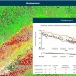
Rheticus Displacement
Planetek
Satellite Images
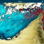
Rheticus Marine
Planetek
Satellite Images
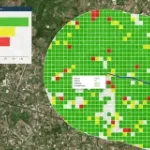
Rheticus Safeland
Planetek
Satellite Images
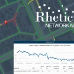
Rheticus Network Alert
Planetek
Satellite Images
Rheticus
Planetek
Satellite Images
Preciso Coast
Planetek
Satellite Images
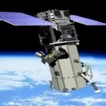
COSMO-SkyMed
Satellite Images
SpaceOP3C
Planetek
Preciso Urban
Planetek
Satellite Images
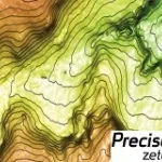
Preciso Zeta
Planetek
Satellite Images
Preciso OnLine
Planetek
GetLOD
Planetek
GIS/SDI Server SW
ERMES
Planetek
Preciso Index
Planetek
Satellite Images
Spacedge
Planetek
Preciso Fast
Planetek
Satellite Images
EarthBIT
Planetek
SW Remote Sensing
Cart@net
Planetek
GIS/SDI Server SW
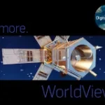
WorldView-2
Maxar
Satellite Images
SkySat
Planet Labs
Satellite Images
Preciso
Planetek
Satellite Images
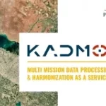
Kadmos
Planetek
SW Remote Sensing
Preciso Landslide
Planetek
Satellite Images
WorldView-4
Maxar
Satellite Images
Preciso Italia
Planetek
Satellite Images
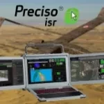
Preciso ISR
Planetek
Satellite Images
SW Remote Sensing
Desktop GIS SW
Hardware
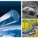
TerraSAR-X
Airbus
Satellite Images
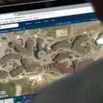
SecureWatch
Maxar
Satellite Images
Preciso Land
Planetek
Satellite Images
PRECISO Flow Manager
Planetek
Satellite Images
SpaceADM
Planetek
LOD4SDI
Planetek
GIS/SDI Server SW
newsletter
Share With