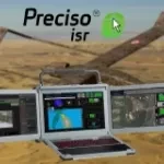
The largest Earth observation satellite constellation able to collect a picture of the Earth every day.
The two high resolution satellites Pléiades-1A and Pléiades-1B
Automatic cloud-based geoinformation service for subsidence, landislide and ground motion monitoring and analysis over time.
Continuous monitoring of water and sewer pipeline stability
Automatic cloud-based geo-information service for the continuous monitoring of coastal seawater quality and marine resources.
Automatic cloud-based geoinformation service platform for territorial monitoring
Automatic cloud-based geoinformation service for subsidence, landislides and groud displacement monitoring and analysis over time
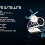
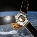
SkySat is a commercial Earth observation microsatellite constellation of Planet company licensed to collect high resolution panchromatic and multispectral images of the Earth.
The unique constellation of four high-resolution radar satellites to observe the Earth day and night, regardless of weather conditions.
(Decommissioned: archive imagery available) Very high-resolution satellite of the DigitalGlobe | MAXAR constellation
SecureWatch gives you instant access to the best of DigitalGlobe | Maxar technologies satellite imagery and geospatial data.
Geospatial Indexes for Territorial Planning and Strategic Environmental Assessment. Monitoring of soil loss.