The world’s most widely-used remote sensing software package for creating information from geospatial data.
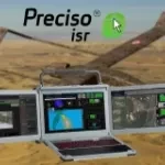
Preciso® ISR, an integrated AI-powered exploitation suite designed to enhance operational effectiveness across defence, homeland security, and civil protection missions.
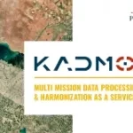
Kadmos is a suite of services that enables the combined and synergistic use of data from various missions
Image visualization and processing tool for EO and scientific data