Urban monitoring and automatic satellite-based detection of illegal constructions.
Satellite orthoimages for the timely monitoring of changes on the territory.
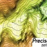
Digital Elevation Models derived from Satellite for orographic studies and for the design and management of works and infrastructures
Landslide identification and monitoring for infrastructure planning and management
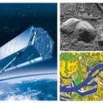
Geo-information products, derived from satellite data, designed to provide cognitive frameworks which meet the specific needs of each field of application.
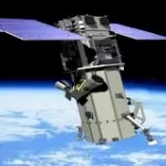
The first high-resolution commercial satellite to offer 8-band capability and the better visual understanding of the world.
The first commercial 1m Radar Satellite
Fast acquisition of satellite imagery in emergency situations, designed for emergency service, Port Authorities, Public Administrations.
Cognitive Framework of marine and coastal areas and public defense works.
Cognitive Framework for Urban Planning and monitoring of Strategic Environmental Assessment (SEA).