All events and news in the field of Land management, GIS and Remote Sensing. A contribution to sharing additional knowledge in this area with people working in private and public organizations.

Planetek Italia is pleased to announce that Reflectra Ltd.

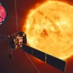
Among the Italian contributions on board the probe, the Data Processing Unit of the Solar Wind Plasma Analyser (SWA) to which Planetek Italia collaborated.

Is it possible to predict earthquakes? It is still an open question.

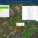
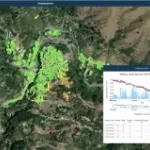
By using high definition images of Cosmo-SkyMed satellite ENEA and Planetek Italia will detect landslides and any 'anomalies' on buildings, bridges and viaducts.

A new reward for Rheticus®, the satellite based monitoring service developed by Planetek, which was awarded the Urban Environment Award at Wor

The first images from the Italian Space Agency satellite were presented in Le Bourget, Paris, 18 June 2019.

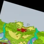
European Environment Agency awards contract to Planetek Italia for the first Very High Resolution Copernicus product on European Coastal Zones.

An all-Italian best practice have been featured at HxGN Live 2019, the international event organized by the Hexagon group that takes place in Las Vegas.

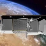
The PRISMA Earth observation satellite will provide hyperspectral images of Earth. Planetek Italia also contributed to the Italian mission led by the Italian Space Agency (ASI).

In 1994, four young professionals believed in the potential of Earth Observation and geospatial information to do business with and founded Planetek Italia, establishing their activities in Bari, I

In the frame of the Copernicus4Regions initiative, launched by the European Commission, the European Space Agency and NEREUS, the paper Publication “The Ever Growing Uses of Copernicus Acro