All events and news in the field of Land management, GIS and Remote Sensing. A contribution to sharing additional knowledge in this area with people working in private and public organizations.

In  2015, the HxGN LIVE EDU contest started with the goal of engaging some of the brightest  geospatial minds and working with them to discover how they are employing Hexagon Geospatial s

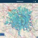
The public sewerage network of Milan runs for approximately 1500 km.

Wishing you Happy Holidays and a Peaceful year 2017

For Christmas time we want to share with you our special Wishes and our small actions to help charity/aid organizations

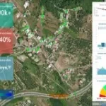
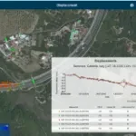
The geoinformation service Rheticus® Displacement developed by Planetek Italia has been awarded at the 1

Planetek Italia is pleased to announce that The Wroclaw Institute, GeoSolutions Consulting Inc., IIES Ltd. and Gjeo-Vjosa sh.p.k.

Planetek Italia is pleased to announce that The Wroclaw Institute has been appointed as Authorized Distributor for the reselling of the Earth monitoring services offered by its cloud platform -&nbs

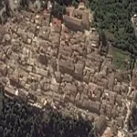
The earthquake hit at around 3:30 AM of the 24th August, 2016 some 100 KM northeast of Rome, the capital.

Rheticus®, the application developed by Planetek Italia, has been awarded as the "Application of the Year 2016" by the OpenGeoData Italy association.

Summer is the most critical season for wildfires and forest fires. Each year, several thousand hectares of wooded area is is affected by serious and often irreversible damages.

150+ geospatial Apps were submitted globally to the Hexagon Geospatial competition, IGNITE, and about seven of them are from Italy.

Planetek is a candidate for entering the final 20 Apps.

Recipe: Take a satellite image every 6 days, add a cartographic base and a pinch of ancillary data, all strictly available in open data mode.