
An innovative Cloud-based platform to widely support Campania Region Government departments, to simplify the workflows of Land information management and planning, making decisions and publish regional information as Open Data.
An innovative Cloud based platform in support of several Departments of Campania Region, to simplify the workflows of Land information management and planning, making decisions and publish regional information as Open Data.
 I.TER Campania platform awarded with the prize Italian Digital Agenda 2016.
This is, in brief, the aim of the project "Anagrafe delle entità e degli eventi territoriali - I.Ter Campania", which Planetek Italia, in collaboration with AlmavivA and Trilogis, was awarded at the beginning of 2015. This project provides Regional Government organizations an innovative Cloud-based technology, which allows different regional offices to geolocalize their services, thanks to intuitive mapping tools, and share them easily, according to the SaaS (Software as a Service) paradigm.
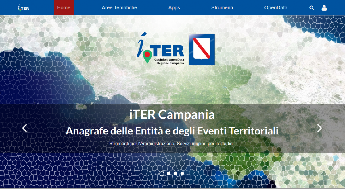
I.Ter Campania has the role of aggregator and Data Hub of all information related to the entities composing the territory - physical, natural and anthropogenic (buildings, rivers, roads, etc.) -, and the events which occur in the area (works, interventions, landslides, fires, floods, etc.), with their geographical location. Using primarily the geographic data as a basis, this approach facilitates knowledge and governance of the territory, and the progressive realization of value-added services that can be a factor in the development of the regional economy.
I.Ter Campania tip so to extend its capabilities throughout the regional information system, integrating the database with geolocalized information and resources, obtained directly by the bodies and offices responsible for managing the territory, and referred to the different application areas of interest of each government department and office.
 Visit the I.TER Campania website
A new paradigm: Cloud, Saas and Linked Open Data
The entire I.Ter Campania application platform is developed with open source software, based on the paradigm of Cloud Computing in its declination of Software as a Service (SaaS). It takes advantage from the great experience of Planetek Italia in new technologies in the creation of Spatial Data Infrastructure. The infrastructure is designed in line with SOA (Service Oriented Architecture), and aims to be the technological translation of a new way of thinking about the work of public administration in the region, and at the same time a new understanding of services to institutions and citizens, in compliance with the new requirements laid down by the current Digital Government Code (CAD).
The realization of the project requires that production and updating of information layers made by each department, thanks to the tools available on the Regional Cloud, can be directly superimposed to other information layers, getting an overall representation entities and regional events. This, on the one hand extends and enriches the knowledge residing in the individual systems, according to a paradigm of reuse and the rationalization of information and investment; on the other hand it creates the registry of geolocalized entities and local events of the Campania region, updated, shared and interoperable.
The main difference compared to geographic information systems existing in the national and local levels, even if federated, lies in the possibility offered by the I.Ter Campania platform to provide end users a number of software applications, as cloud, ready for use, accessible via SaaS, reducing the scale of investment required.
The Spatial Data Infrastructure, complete with modules for decision support and the provision of information flows as Linked Open Data, leads to the creation of a new information level, cross-cutting and comprehensive, accessible to citizens as well as automatic access mechanisms machine2machine, which enable the creation of new digital services through the use of available free information on geolocated entities and events.
Regional Governance and Sustainability
Resource sharing at the regional level makes technology investments sustainable in the long term, with the rationalization of the total costs, without depriving the individual actors of the respective managerial autonomy. The architectural model of the system, in fact, aims to enable the activation and use, on demand and through the web of processing resources independently configurable by the user, including the functionalities attributed to geographic contextualization.
Another innovative aspect of the project is in the management and integration of "certified" spatial data, which are produced by governments and for which are defined the stages of production and validation, as well as the accuracy and its use restrictions, and, moreover, for which it is established their homogeneity over the entire Campania region territory. If, on the one hand it improves the approach to governance of the territory, at the same time it brings major benefits due to more effective control of territorial taxation, which is a requirement without delays for local authorities.
With the realization of I.Ter Campania the following objectives are reached:
- Making effective and efficient application cooperation between Administrations (they can use the resources with great cost avoidance and making them immediately available on the regional institutional platform) and make viable the Digital Citizenship mechanisms regarding the establishment and the transformation of the territory;
- Build an infrastructure of community services at theregional level in the logic of the European INSPIRE Directive and support and adopt these principles for all spatial data in the public interest to any institutional level whether built;
- Develop vertical applications, integrated with the regional SOA infrastructure, operating on certified spatial data and developed according to the SaaS logic of Cloud Computing to be made available to other public administrations of the territory;
- Implement models of location intelligence able to cross several layers of information with those certified of the territory.
I.TER Campania will support the "Terra dei Fuochi" Task Force to detect and eradicate illicit activities
Article on Il Denaro magazine and TV NEWS (in italian):