
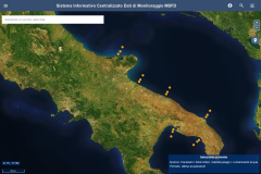
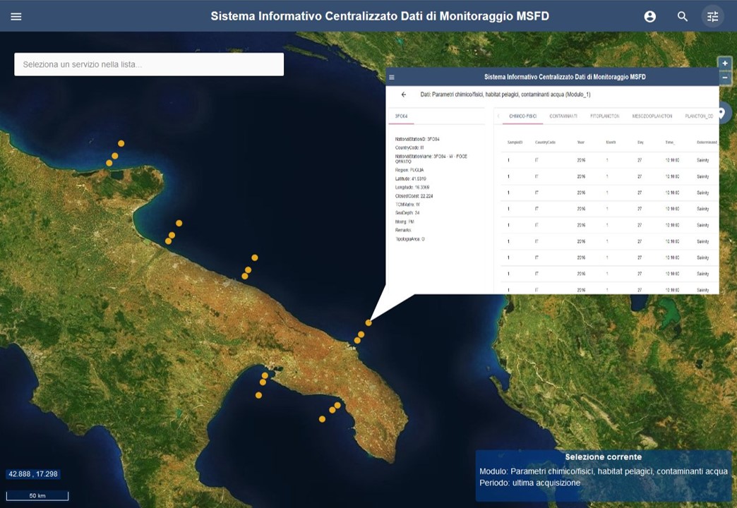
The Italian single access point to all information assets for the collection, management and sharing of marine-coastal monitoring data at European level.
The European Marine Strategy Directive establish that Member States must activate a monitoring system of coastal sea water quality, in order to define its status and monitor the effectiveness of the measures implemented for the protection of waters.
In Italy, the Ministry of the Environment and the Protection of the Land and the Sea (MATTM), - the authority for the implementation of the Framework Directive on the Marine Strategy 2008/56/EC in Italy-, with the support of ISPRA has activated the Italian Centralized Information System (SIC-MSFD), the single access point to all information assets for the collection, management and sharing of marine-coastal monitoring data at Community level.
 The project included the development and management of a Web portal and application modules aimed at the implementation of the centralized information system of the MATTM, for the collection, management and sharing at Community level of monitoring data of the marine environment, to be carried out at ISPRA.
The SIC allows the centralization of information collected from numerous information sources, also integrating data produced by the regional administrations and ARPA:
- Si.Di.Mar Data Bank: is the database located at the MATTM Sea Defense Service, which includes the data collected during the national monitoring program envisaged in accordance with the Water Directive. The data were collected by the Regions, transmitted periodically via the Internet to the MATTM, which recorded them in the Si.Di.Mar database.
- MSFD Supporting Documents: all the supporting documents for the Reporting Sheets drawn up, as part of the Marine Strategy Framework Directive 2008/56/EC (MSFD, Marine Strategy Framework Directive), to be used for the initial assessment. These Supporting Documents include information on maps, data and bibliographic references.
- National MSFD Monitoring Program: it includes the collection of data by the Regional Environmental Agencies (ARPA) and their submission to the MATTM, which will subsequently transmit them to the European Commission.
The Cartographic component is compliant with INSPIRE and the Italian National Repository of Territorial Data (RNDT), and adopts the OGC, WMS, WFS, WCS standards. The SIC infrastructure was adopted by ISPRA for the creation of the UNEP UN-based environmental DB UN-INFO.
The main requirement of the system is the cooperation between the different categories of users, - which include the users to whom the SIC is primarily addressed -, as direct or indirect users, and which are:
- Ministry for the Environment and Protection of the Territory and the Sea (MATTM);
- Higher Institute for Environmental Protection and Research (ISPRA);
- Regions and Autonomous Provinces;
- Regional Prevention and Environment Agencies (ARPA);
- University Institutes;
- Research Institutes (CNR);
- Local management bodies (AMP)