Identifying where leaks in underground pipelines occur is a vital and expensive task. Satellite radar technology can give a good predictive indicator for where this may be occurring by measuring where the ground is subsiding around the pipeline.
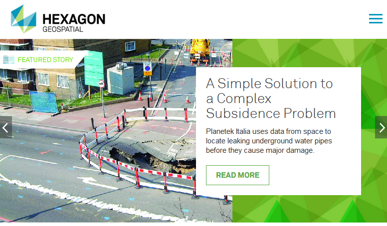
Water can be a destructive force, washing away roadbeds and eroding riverbanks. Sometimes it works silently and invisibly, removing soil beneath parking lots and roads until they cave in, exposing huge sinkholes that swallow houses and cars.
 Subsidence, or when the ground begins to sink, is an indication of a problem. This doesn’t need to be dramatic to be destructive and costly. Subsidence of only a few centimeters around buried pipelines can cause leaks in the pipes. These leaks can then accelerate the erosion around the problem area, disrupting service and possibly creating larger problems.
Operators of water and sewage networks have a term for this: piping. As well as accelerating the damage to the actual water infrastructure, this erosion phenomena can cause instability in road structures and surrounding buildings. These operators spend a lot of money maintaining their network and fighting against water leakages or structural problems.
Identifying subsidence before it becomes critical is a challenge. Remote sensing science has an answer, but as with so many things, it is complicated. Satellite radar monitoring identifies trends in the displacement of the ground which can predict problems underground.
Planetek Italia built Rheticus Network Alert a Hexagon Smart M.App® to automate the complicated processing, perform wide area monitoring, and deliver an automated information service to municipal bodies, helping them pinpoint where leaks are most likely and prioritize their response teams.
Rheticus Network Alert uses the power of the Hexagon Smart M.App to build and deploy Rheticus® Displacement, a cloud-based geoinformation service designed to deliver accurate satellite-based data and information for the monitoring of ground surface movements.
By subscribing Rheticus® Displacement service, utilities can upload their network segments and get automated updates on where the ground is subsiding. The highly visual dashboard provides extremely intuitive indicators allowing the user to know the element of the network that might be problematic. The data is automatically refreshed each month, providing up-to-date information. This allows network managers to target inspections, manage priorities, and possibly prevent the most serious damages in their network.
Timeline
- 2025
- 2024
- 2023
- 2022
- 2021
- 2020
- 2019
- 2018
- 2017
- 2016
- 2015
- 2014
- 2013
- 2012
- 2011
- 2010

