 ERDAS IMAGINE® is a professional software suite, specifically developed by Hexagon for geospatial data processing. It provides you with professional tools to manage and analyze satellite images, aerial photos, UAV drone data, altimetric models, etc. ERDAS IMAGINE® simplifies operations of classification, orthorectification, mosaicking, reprojection and photointerpretation on any type of data: panchromatic, multispectral, hyperspectral, radar SAR, LiDAR. ERDAS IMAGE performs advanced remote sensing analysis and spatial modeling to create new information.
To request the file(s) and use them for free, send your enquiry by email at hexagon @ planetek.it (copy and cancel blank spaces around @).
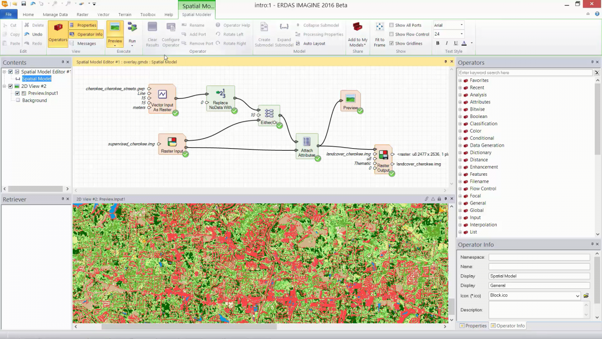
Spatial Models
Spatial Modeler provides the user with hundreds of functions, algorithms and analytical routines that can easily be chained together into models that solve Geospatial problems. This page provides free examples of Spatial Models built by Planetek Italia using the Spatial Model Editor (available in IMAGINE Professional, GeoMedia Professional and other Hexagon Geospatial products) which can be downloaded and used as is, or can be modified to suit your particular needs.
- SPATIAL MODEL - Merge LAS files from a folder: This models performs a merge of all the .las files (point clouds), stored in a directory indicated by the user, excluding those containing in the name the string "Thinned". It shows a good example on how to use MultiFilenameInput and Iterator operators.
- SPATIAL MODEL - Point Cloud Zonal Analysis: This model has as input a shape file (polygonal) and a LAS file (point cloud) and performs a "zonal analysis". As output it adds, in the shape file, a new column with the average value of the height (Z).
- SPATIAL MODEL - Tiff to img automatic conversion from a folder: This model takes as input all the .tif files contained in a folder (selected by the user) and automatically saves them in another folder, converting them to the .img format. EIt shows a good example on how to use MultiFilenameInput and Iterator operators.
- SPATIAL MODEL - Optimum Index Factor: Optimum Index Factor (OIF) is a statistic value that can be used to select the optimum combination of three bands in a satellite image with which you want to create a colour composite.
- SPATIAL MODEL - Independent component Analysis Copernicus Sentinel-2: Independent component analysis (ICA) is a statistical and computational technique for revealing hidden factors that underlie sets of random variables, measurements, or signals. You can see it as an extension to principal component analysis and factor analysis and also as a also a practical way to extract the structural geology maps. Watch example here: https://www.youtube.com/watch?v=QDhxHx-5_QY
- TOOL - Tool for reading the HDF5 format: Use this free tool to import HDF5 format files into ERDAS IMAGINE.
