


Don't miss our new online course of Remote Sensing.
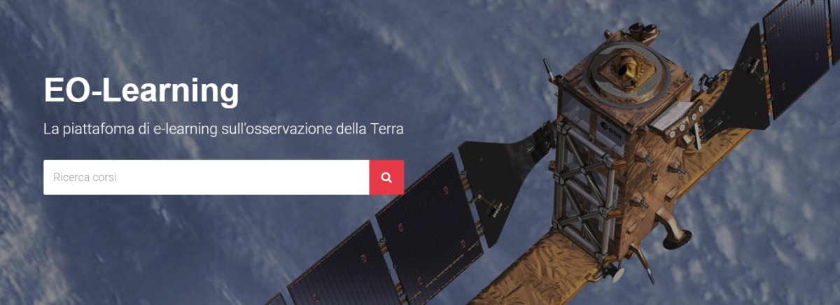
We have launched a new online course platform. It's free, updated and you can track your progress!
Visit now: https://eolearning.planetek.it/
By continuing on the present website you will access the classic on-line course of Remote Sensing – a tutorial approach of Planetek Italia to learning about the role of space science and technology in monitoring the Earth’s surface and atmosphere – funded by CEO Programme. As you work through the course you will come to understand how remote sensing is applied to studying our planet. Not only will you gain insight into past uses of aerial photography and space imagery as records of the Earth’s geography as well as the future plans for more advanced monitoring systems, but you should actually develop skills in interpreting these visual displays and data sets both by direct inspection and by computer processing.
Remote sensing involves the use of instruments or sensors to "capture" the spectral and spatial relations of objects and materials observable at a distance – typically from above them. Normally, we experience our world from a more or less horizontal viewpoint while living on its surface. But, under these conditions our view is usually limited to small areas at most owing to obstructions such as buildings, trees, and topography. The total area encompassed in our vistas is considerably enlarged if we peer downward from, say, a tall building or a mountain top. This increases even more as we gaze outwards from an airliner cruising above 10000 meters. From a vertical or high oblique perspective, our impression of the surface below is notably different than when we scan our surroundings from a point on that surface. We then see the multitude of surface features as they would appear on a thematic map in their appropriate spatial and contextual relationships.
This, in a nutshell, why remote sensing is most often practiced from platforms such as airplanes and spacecraft with onboard sensors that survey and analyze these features over extended areas from above. It is the practical, orderly, and cost-effective way of maintaining and updating information about the world around us.
Methodology of this Course
Unlike a formal course in the subject, with chapters covering principles, techniques and applications introduced in a pedagogic and systematic way, we intend to instruct simply by leading you through a series of sections each focused on one or more relevant topics. Because most remote sensing data can be presented as visuals, we will build our treatment around illustrations as space images, classifications, maps, and plots rather than numerical data sets, although these latter are the real knowledge base for applications scientists in putting this information to practical use. (Some of this material has been acquired by direct downloading off the Internet; we are grateful to the source organizations and individuals whom we may not acknowledge if it interrupts the flow of the text.)
These illustrations will be accompanied by descriptions and discussions to aid in interpreting the concepts the visuals represent.You should be able to manipulate the images in special ways – such as through enlargements to bring out details. In some instances, you may wish to print out an image for reference rather than scrolling to find it on screen if you have moved on to a different page.
NOTE: The image layout was designed on the principal writer’s 17-inch monitor.
We will also embed numerous links to other sources of information on remote sensing and to various continuing or planned programs. These in turn have their own sets of links which, as you explore them, will broaden your acquaintance with the many facets of remote sensing and its popular applications.
The images themselves may vary in quality – both in tone or color balance and resolution – depending on your monitor/graphics card combination and other factors. Thus, what is described in the text may not be easily grasped from the screen renditions.
Glossary
Remote sensing
collection and interpretation of information about an object without being in physical contact with the object.
Image
Pictorial representation of a scene recorded by a remote sensing system. Although image is eral term, it is commonly restricted to representations acquired by non-photographic methods.
Resolution
Ability to separate closely spaced objects on an image or photograph. Resolution is commonly expressed as the most closely spaced line-pairs per unit distance that can be distinguished. Also called spatial resolution.